Press Release | Pilot Demonstration of the NERITES solution in Fournoi, Greece | 30-10-2026. Read the PDF here.
An October 2026 pilot campaign at Aspros Kavos brought autonomous underwater technology, 3D archaeological documentation and remote monitoring together at one of the Fournoi archipelago’s most significant shipwreck sites.
From 3 to 8 October 2026, the European research project NERITES conducted its second pilot demonstration in the Fournoi archipelago, Greece, focusing on Shipwreck No. 15 off Cape Aspros Kavos. The campaign followed the first NERITES pilot at the submerged Villa dei Pisoni in Baia, Italy, and examined how an integrated system could operate under the demanding conditions of an active underwater archaeological site.
As a NERITES consortium partner, the Korseai Institute of Historical and Archaeological Research has a central role in the Fournoi pilot site, including the planning of validation and demonstration activities and the definition of archaeological requirements for testing the technologies. The October campaign connected this local archaeological expertise with autonomous underwater robotics, environmental monitoring and digital documentation.
Why Fournoi and Shipwreck No. 15 matter
Situated in the eastern Aegean Sea between Ikaria and Samos, the Fournoi archipelago has become an important centre for maritime archaeology. Surveys beginning in 2015 identified an exceptional concentration of shipwrecks, reflecting centuries of navigation, trade and maritime activity across the Aegean and Eastern Mediterranean.
The focus of the NERITES Fournoi pilot was Shipwreck No. 15, discovered in 2015 and the subject of systematic underwater archaeological excavation since 2021. The wreck, identified in the campaign documentation as an early Byzantine shipwreck dating to the 5th–6th centuries AD, lies on a steep seabed at a depth of approximately 43–49 metres.
Its archaeological importance, together with depth, currents, exposed conditions and the logistical challenges of working off Aspros Kavos, make it a demanding location in which to test technologies for non-destructive underwater cultural heritage monitoring.
Two monitoring priorities: deterioration and human impact
The NERITES demonstration focused on two complementary questions. The first concerned the physical and biological degradation of the wreck and its archaeological materials: how can researchers obtain consistent measurements and documentation that support comparisons of a site’s condition over time?
The second examined potential human impacts on the stability of archaeological remains. By combining accurately positioned observations with environmental information and archaeological reference data, the project is developing methods that could support more systematic assessments of disturbance and change.
These were pilot-testing objectives, not announcements of newly detected damage or proof of long-term monitoring performance. The campaign’s field datasets and operational records will support subsequent evaluation of the technologies and their performance indicators.
-
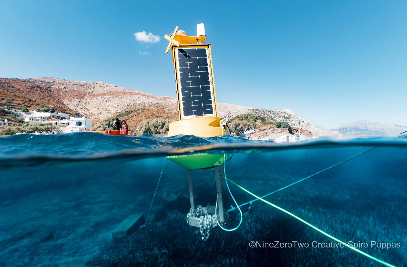
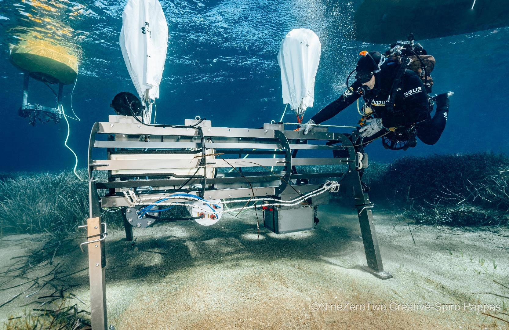
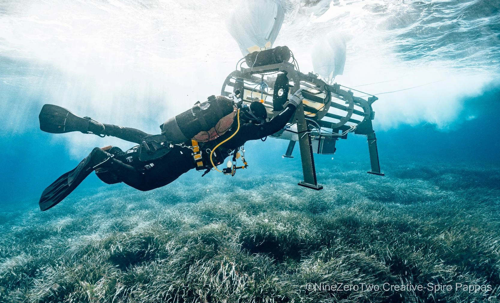
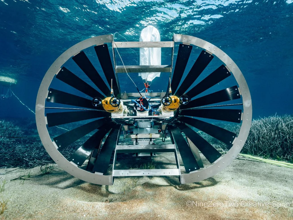
The NERITES program AUV underwater docking station with the AUV in place
From archaeological documentation to autonomous underwater missions
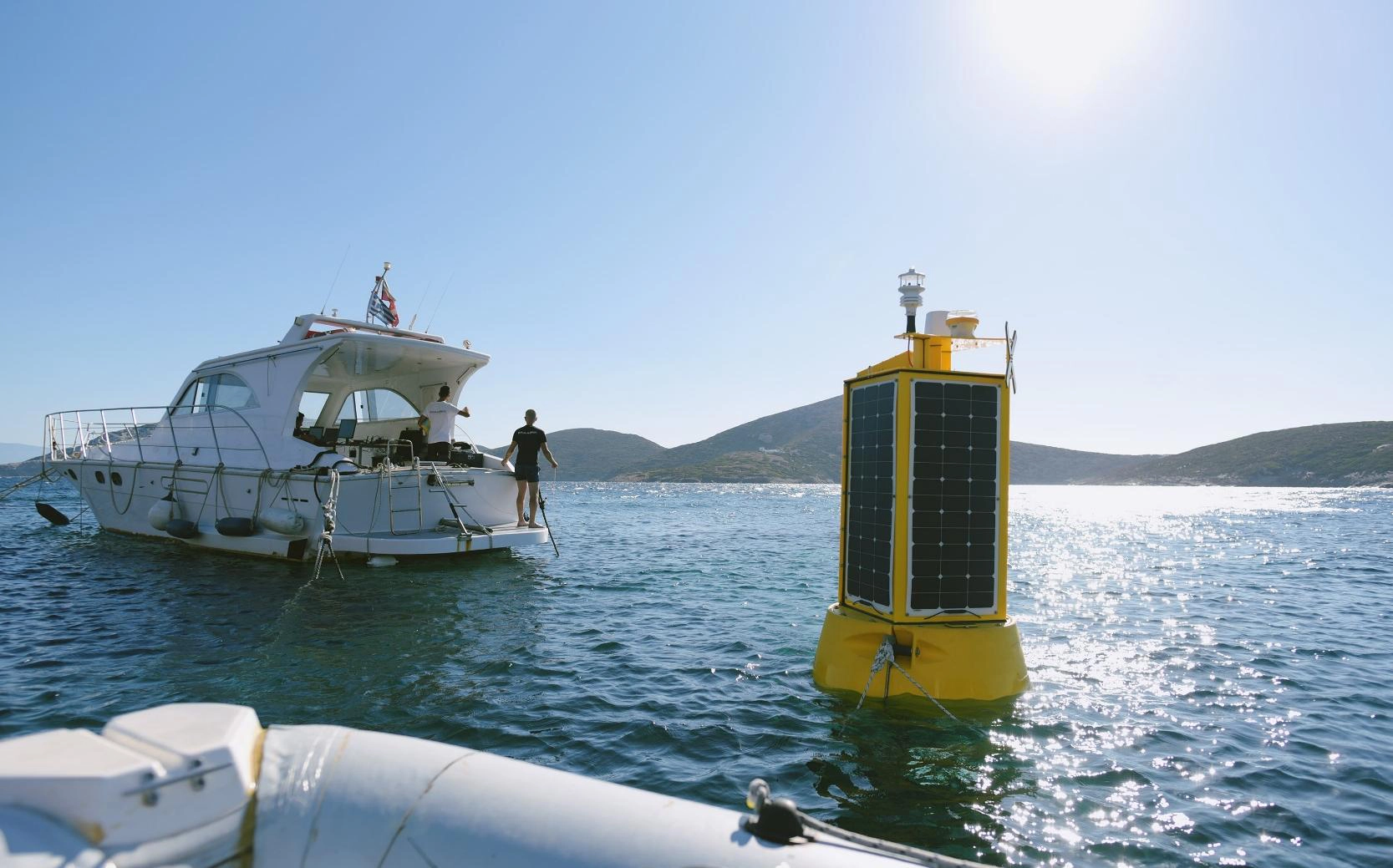
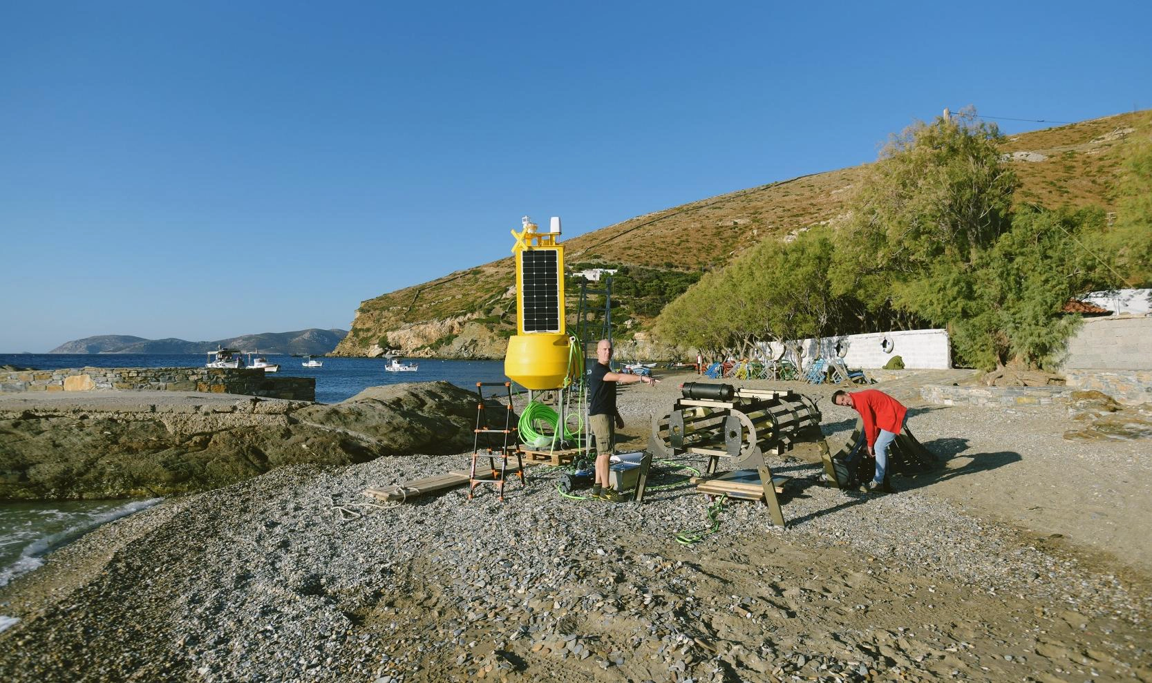
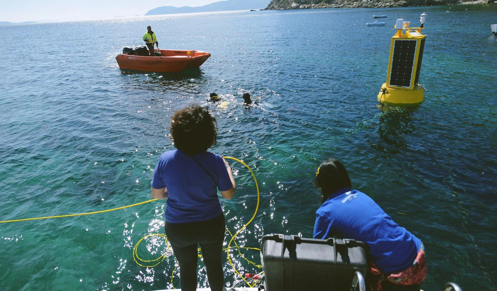
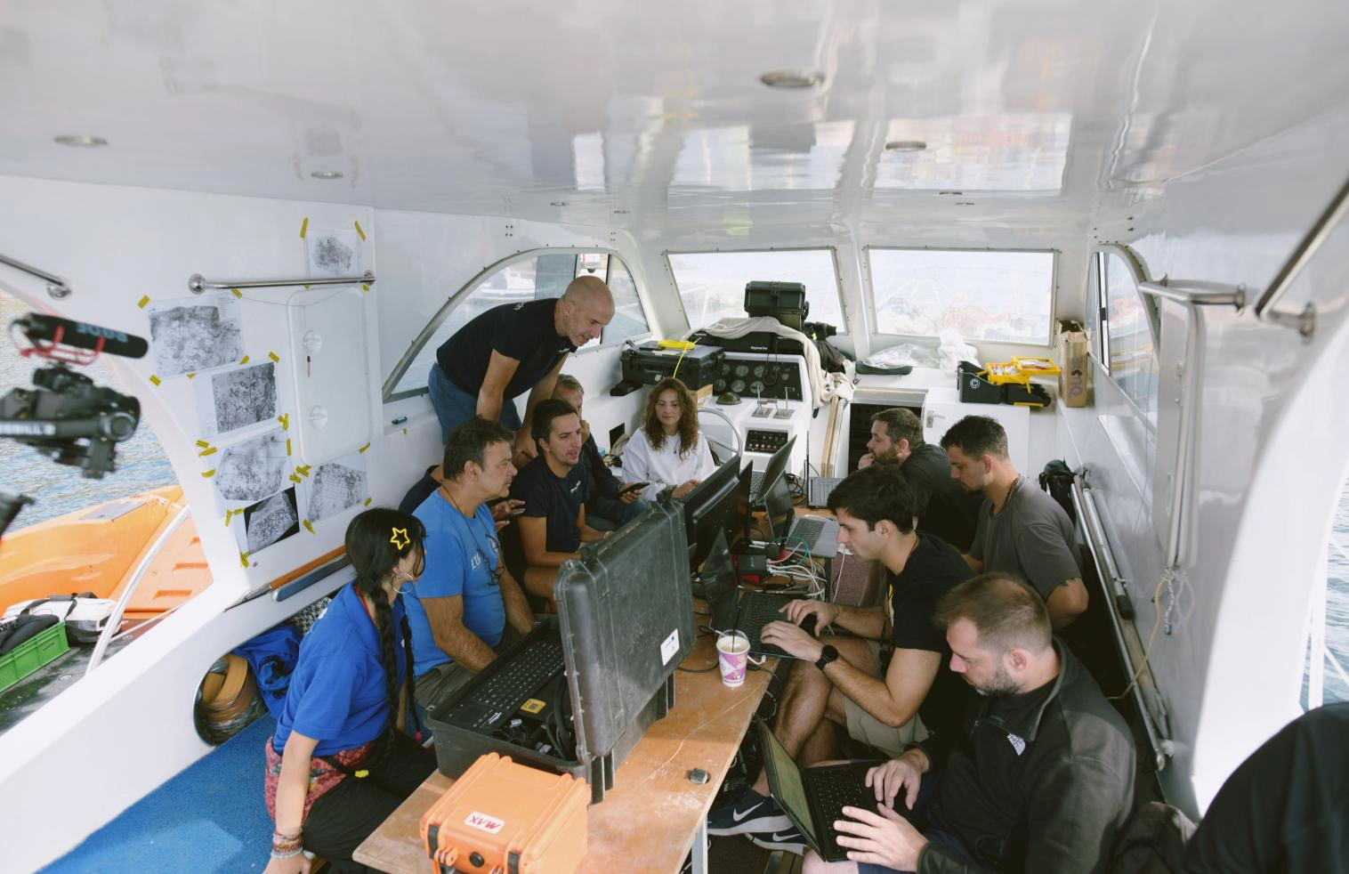
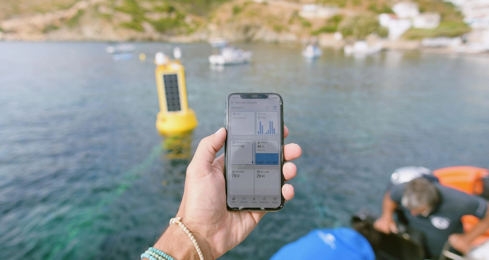
The field campaign began on 3 October with preparations at the onshore operational base in Kamari, Fournoi, which also hosted the Remote Monitoring and Command Centre. Following a period of strong Aegean winds reaching 9–10 Beaufort, the teams adapted marine logistics and deployment arrangements as needed.
On 4 October, archaeological teams re-identified and georeferenced selected areas of interest, reference stations and measurement points at Aspros Kavos. Photographs, underwater photogrammetry, 3D recordings, conservation assessments and authorised measurements and samples were collected to establish a controlled baseline dataset. Before- and after-cleaning documentation was linked to common identifiers, creating a traceable “zero-point” reference for future comparisons.
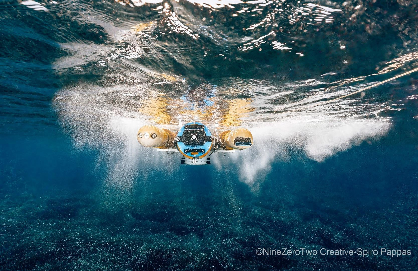
Meanwhile, the technology partners completed system assembly, integration, calibration and readiness checks. On 5 October, the integrated NERITES platform was deployed at the pilot site for in-water verification. Testing covered autonomous underwater navigation, precise positioning, target approach, path tracking, obstacle avoidance, imaging, data logging, communications and supporting docking infrastructure.
On 6 October, the consortium carried out the two planned Fournoi use cases. Field operations included imaging and 3D documentation, environmental and material-related measurements, CTD measurements (conductivity, temperature and depth), and authorised sampling. Designated end users monitored the activity from Kamari while the partners reviewed mission logs, observations and collected datasets.
The campaign concluded on 7–8 October with system recovery, equipment inspection, controlled data backups, site inspection and handover. The teams removed temporary materials and completed demobilisation, with the archaeological site restored following the field activities.
What the NERITES technology brings to underwater archaeology
NERITES is developing an integrated approach that combines autonomous underwater vehicles (AUVs), precise mission planning, advanced imaging, 3D models, environmental and material-related sensors, docking and surface-support infrastructure, remote supervision and data-processing tools.
For underwater cultural heritage, the value of this approach lies in its potential to provide repeatable, georeferenced and non-destructive observations. Archaeological teams need more than isolated photographs: they need comparable records of artefacts, site conditions, environmental parameters and changes that may occur over time.
The Fournoi pilot was designed to test how these elements work together under real operational conditions. Its importance is therefore both technological and archaeological: it creates evidence for evaluating whether autonomous monitoring can complement established diving, conservation and excavation methods without replacing the expertise required to interpret archaeological remains.
-
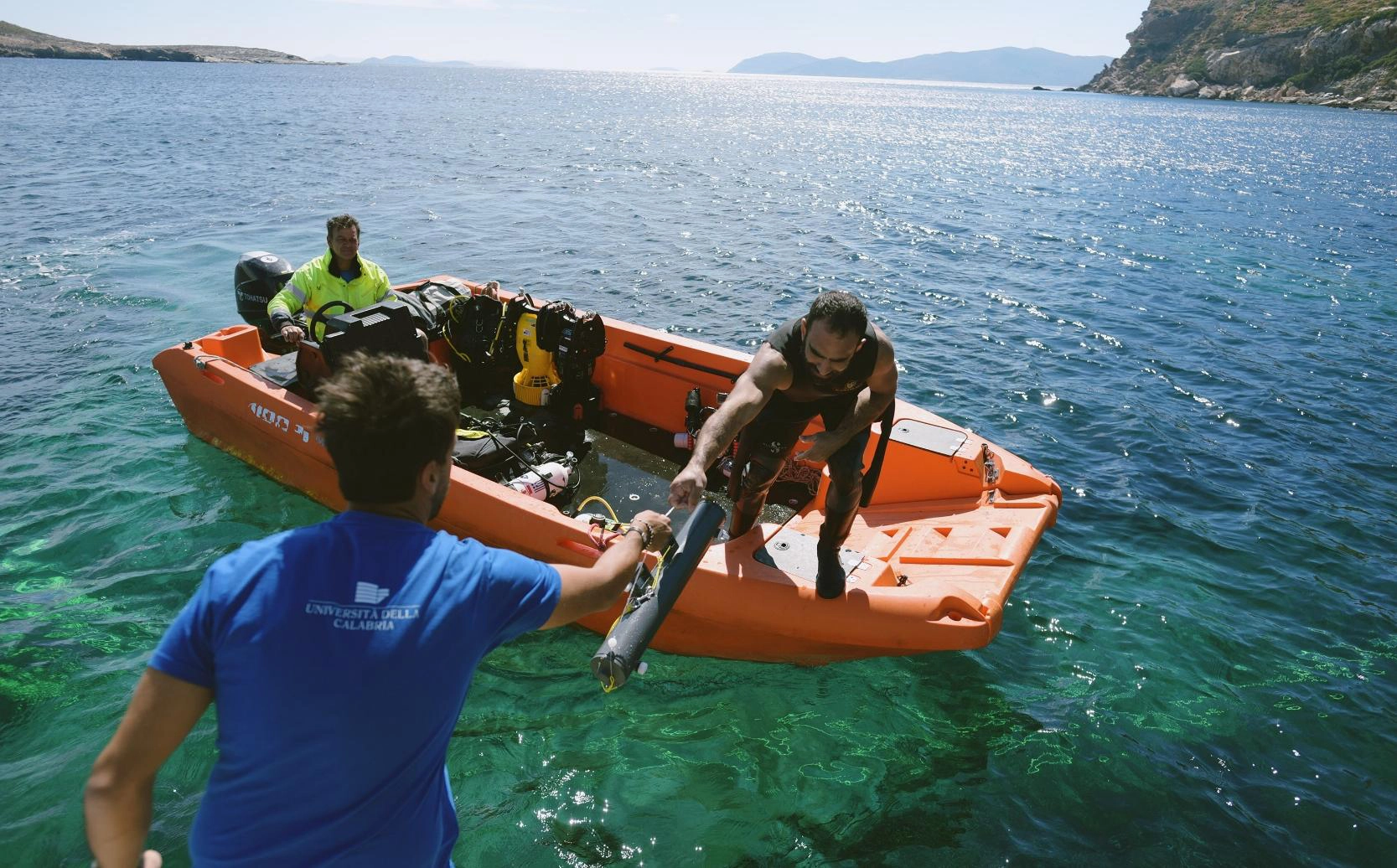
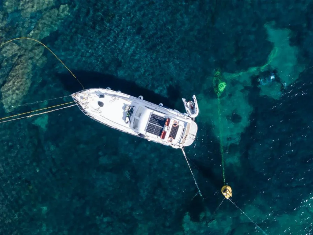
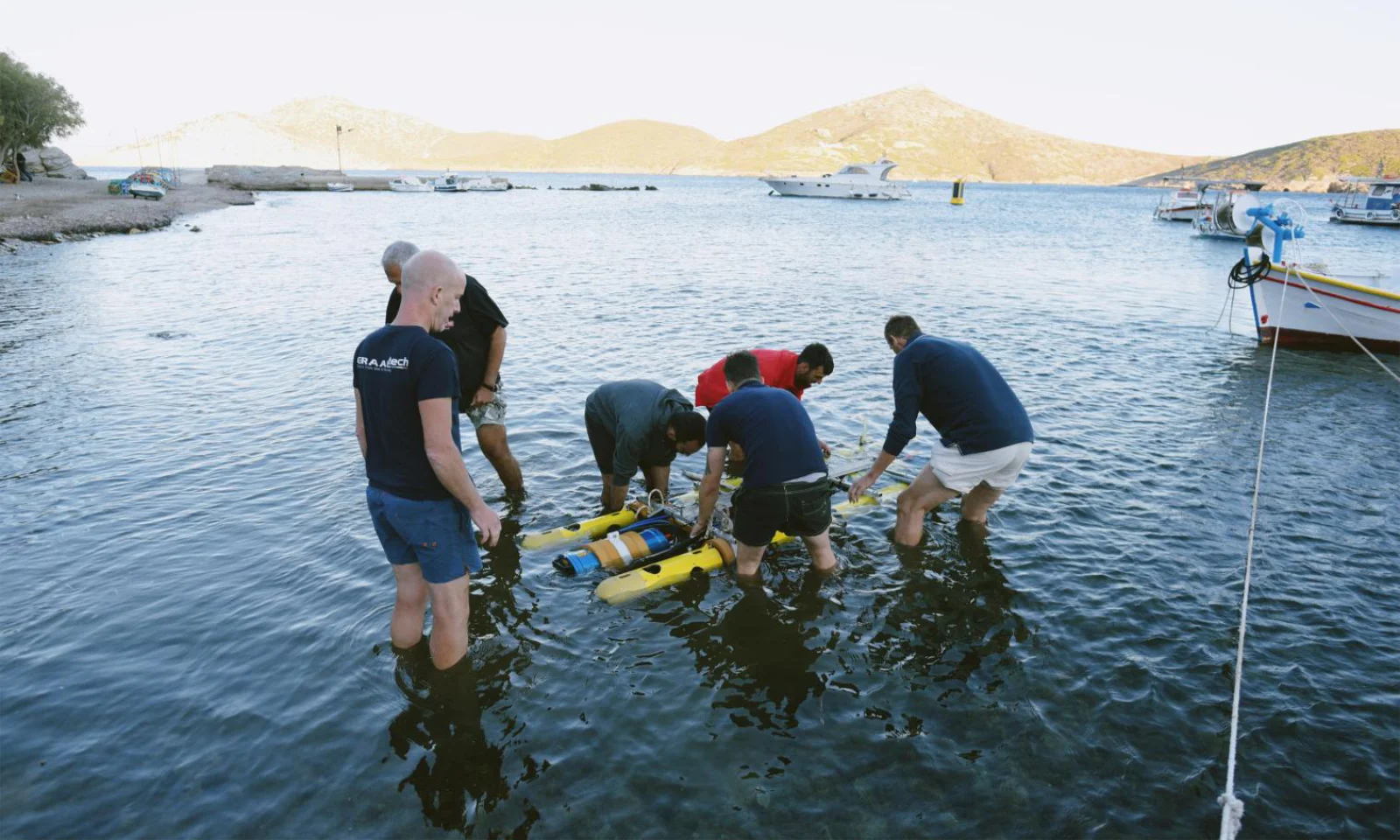
NERITES team members placing the AUV in the water off the coast of Kamari, Fournoi
Korseai’s role in the NERITES consortium
Korseai is not simply hosting a demonstration in Fournoi. According to the project’s official Korseai partner profile, the Institute is responsible for planning the validation and demonstration activities at the Fournoi pilot site, including requirements, prerequisites, schedules and dependencies. Korseai also helps define the archaeological and environmental parameters that monitoring technologies must address to be suitable for underwater cultural heritage protection.
This work builds on Korseai’s involvement in underwater archaeological research in Fournoi and its longstanding cooperation with the Ephorate of Underwater Antiquities of the Hellenic Ministry of Culture and other research partners. It also connects with the Institute’s wider mission to document, understand and protect the archipelago’s maritime heritage.
The collaboration extends beyond field testing. In September 2026, Korseai organised the second NERITES educational workshop in Fournoi, bringing archaeological methods, conservation, underwater imaging and emerging blue technologies into a shared learning environment.
Protecting the underwater cultural heritage of the Aegean
Shipwreck No. 15 is both an archaeological resource and a demanding real-world test site. The October 2026 campaign showed how archaeologists and technology specialists can conduct a coordinated pilot around a common archaeological baseline, integrated underwater operations and documented field procedures.
The next task is to assess the acquired data and performance indicators. Only that analysis can establish what the pilot has demonstrated about monitoring quality, system reliability and the potential for future use at other submerged cultural heritage sites.
For Korseai, participation in NERITES reflects a clear priority: bringing scientific research and carefully evaluated digital technologies together in the service of underwater archaeology, maritime heritage research and long-term conservation in the Fournoi archipelago and beyond.
Explore the project, videos and updates
Learn more about the NERITES Horizon Europe project, the Fournoi pilot site and Korseai’s role in the consortium. The project also publishes NERITES videos and partner stories, including a Korseai interview about the challenges of the Greek pilot site. For news, newsletters, videos and official social media channels, visit the NERITES media and social links.
Explore Korseai’s ongoing research on Shipwreck No. 15 and further underwater archaeological expeditions in Fournoi.
NERITES (“Systematic autonomous remote surveying of underwater cultural heritage monuments and artefacts using non-destructive, cost-effective and transportable digital solutions”) is a Horizon Europe research and innovation project running from January 2024 to December 2026. The project has received funding from the European Union under Grant Agreement No. 101132575.